Curtis Bay, Baltimore
Curtis Bay covers 4.9 square miles of Baltimore, and about 4,808 people live here. This page maps 27 parks and public places and 5 businesses inside its lines, most of them Auto.

Living In Curtis Bay
Curtis Bay has about 4,808 people on 4.9 square miles, 985 per square mile, more spread out than Baltimore as a whole (6,233).
The median household earns $37,360 a year, 40% below the city median, #139 of 156 neighborhoods.
51% of homes are owned by the people living in them, and the median rent is $1,203 a month.
It is an older part of town: 60% of homes were built before 1960.
People here skew younger, with a median age of 32 against 36 citywide.
72% of homes have broadband internet.
Inside its lines: 8 places of worship, 5 community centers, 5 parks and 4 landmarks and historic sites.
People
Money And Work
Housing
Getting Around
Connected
US Census Bureau American Community Survey 2020 to 2024, added up from the census tracts in Curtis Bay. Ranks count neighborhoods with 500 or more people.
Parks, Schools And Public Places In Curtis Bay
Places Of Worship 8
- Arundel Cove Methodist Church
- Church of the Harbor - Curtis Bay1646 Ceddox Street, Baltimore, MD 21226
- Curtis Bay United Methodist Church
- Saint Anthony Chapel4700 Prudence Street, Baltimore, MD 21226
- Saint Athanasius Catholic Church4710 Prudence Street, Baltimore, MD 21226
- Saint Paul's Evangelical Lutheran Church
- Saints Peter and Paul Ukrainian Catholic Church1506 Church Street, Curtis Bay, MD 21226-1440
- Wesleyan Methodist Church
Community Centers 5
- American Legion Brooklyn Curtis Bay Post 1871527 Cherry Street, Baltimore, MD 21226
- Curtis Bay Athletic Club
- Curtis Bay Recreation Center1630 Filbert Street, Baltimore, MD 21226
- Farring-Baybrook Recreation Center4501 Virginia Avenue, Baltimore, MD 21225
- Filbert Street Garden1321 Filbert Street, Baltimore, MD 21226
Parks 5
- Bay Brook Park
- Black Butterfly Teaching Farm
- Curtis Bay Park
- Farring Baybrook Park
- Fort Armistead Park
Landmarks And Historic Sites 4
 Fort Armistead
- CG-41346
- Gen. Morgan Lewis
- Key Bridge Workers Memorial
Schools 3
- Bay-Brook Elementary School4301 10th Street, Baltimore, MD 21225
- Benjamin Franklin High School at Masonville Cove1201 Cambria Street, Baltimore, MD 21225
- Curtis Bay Elementary School4301 West Bay Avenue, Baltimore, MD 21225
Fire Stations 1
- Baltimore Fire Station 394427 Pennington Avenue, Baltimore, MD 21226
Sports Fields 1
- William J. Myers Pavilion
Places To Go In Curtis Bay
The most reviewed spots inside these lines, with photos where they have one.
Top Attractions And Things To Do
Parks, Beaches, Museums And Landmarks
Businesses In Curtis Bay
Is yours missing or wrong? List or fix it free.
Auto 3
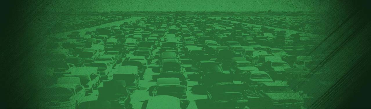 Crazy Ray's Auto PartsCar repair and maintenance service
- Pick Your Part - Hawkins PointSalvage yard
- Glen Burnie Vehicle Emissions Testing StationDepartment of motor vehicles
Entertainment and Arts 1
 Historic Fort ArmisteadHistorical landmark
Parks and Recreation 1
Own A Business In Baltimore
List it free on your neighborhood page in about two minutes. Townstoop is built by Clickflame, building local business sites since 2004.
Curtis Bay Questions
How many people live in Curtis Bay
About 4,808, from the Census American Community Survey tracts inside the Curtis Bay lines.
What parks are in Curtis Bay
5 mapped, including Bay Brook Park, Black Butterfly Teaching Farm, Curtis Bay Park, Farring Baybrook Park.
How many schools are in Curtis Bay
3 schools are mapped inside the neighborhood.
What is the rent like in Curtis Bay
The Census median gross rent is $1,203 a month, against $1,331 for all of Baltimore.
Do people rent or own in Curtis Bay
49% of homes are rented and 51% are owned, against 52% rented across Baltimore.
How do people get to work from Curtis Bay
The average commute is 38 minutes. 74% drive alone, 8% take transit, 0% walk and 4% work from home.
How old are the homes in Curtis Bay
60% were built before 1960 and 0% in 2010 or later. 81% are single family homes.
Is Curtis Bay a family neighborhood
24% of households have children and 29% of residents are under 18. 8% are 65 or older.
Sources, Census figures from the US Census Bureau American Community Survey five year estimates, parks, schools and public places from OpenStreetMap contributors (ODbL). How we build these pages.